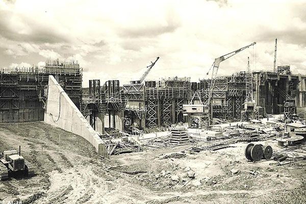
1934
The waterway now recognized as Lake Guntersville was mostly forest and farm lands. When the federal government approved the building of Guntersville Dam on the Tennessee River, 1,182 families had to relocate because their homes and farms were sitting in the middle of land slated to be flooded.
At the completion of the 5-year project, 110,145 acres of land had been cleared, 14 cemeteries and 90 miles of road had been relocated, and TVA had created a 69,000 acre lake with 900 miles of shoreline, stretching 75 miles from Southern Tennessee to Guntersville, AL.