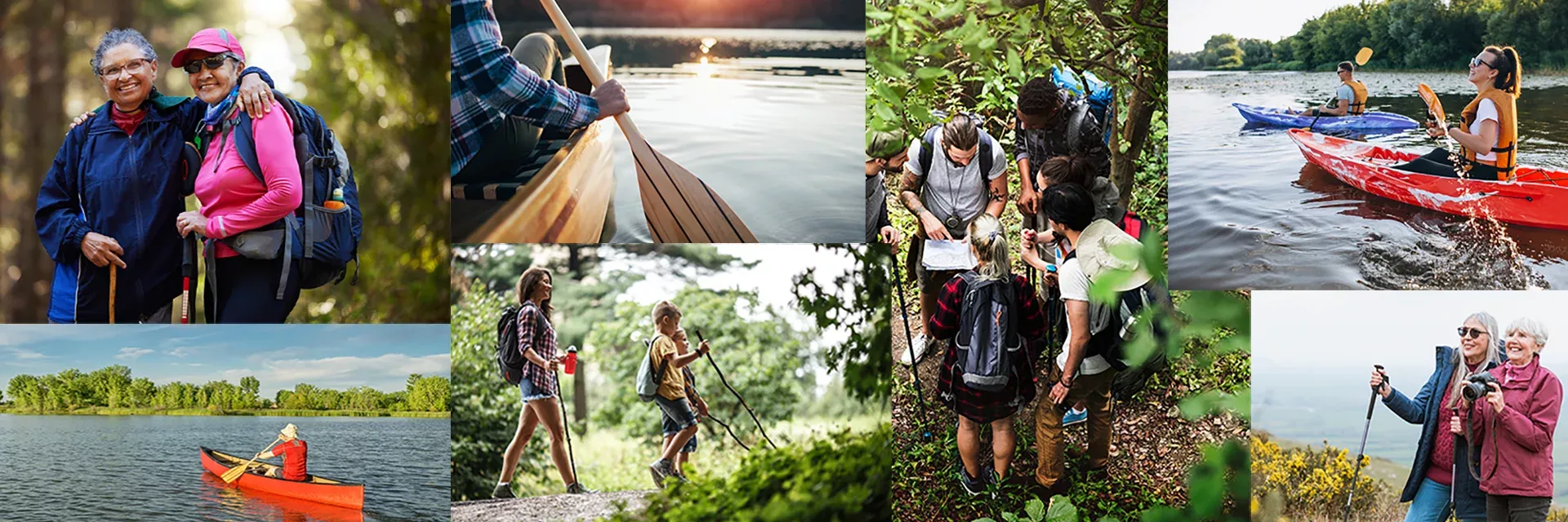

Pick a trailhead & get started…
Click the links below to open a Google map for each trailhead.
Lake Guntersville
Cathedral Caverns
Bucks Pocket
TVA Trails
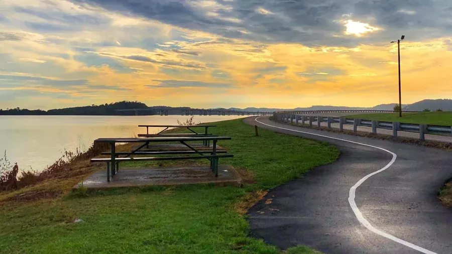
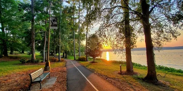
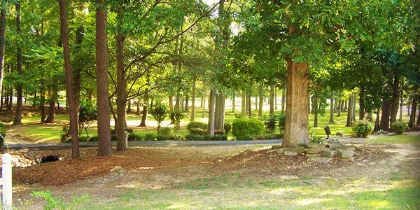
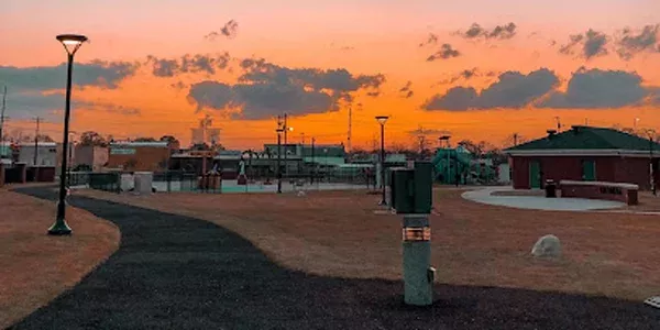
Sunset Drive Walking Trail
From City Harbor, this trail follows the bend in the lake and curves around the peninsula,
providing breathtaking views of Lake Guntersville and the famous river bridge. Benches located
along the path provide the perfect spots for viewing sunrises and sunsets. The trail is paved, lit
at night and stretches for almost four miles. This trail is pedestrian and bike friendly.
City Park & Historic Village
This 1.6 mile loop winds through Arab’s shaded city park and up through the Arab Historic Village, where more than 10 buildings depict life in Alabama during the Great Depression. The historic village features a self-guided tour available using cell service. The trail is paved and well lit at night. There is a playground adjacent to the trail and is pedestrian and bike friendly.
Old Mill Park
This paved trail sits in the center of Boaz and makes a quarter mile loop. Within the park
is an amphitheater as well as a splash pad and water play area for children. This is the
perfect place on a hot summer day and is within walking distance of the downtown and
Boaz’s many murals, which are included on the North Alabama Mural Trail.
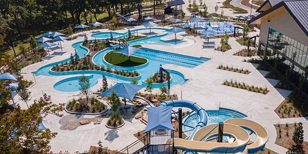
Sand Mountain Park
This paved trail circles the multi-field sports complex, amphitheater and waterpark providing 3.5 miles of mostly flat trail with water features and playgrounds adjacent to the trail as well as a dog park. This is the perfect trail to stretch your legs in between games or to bring the entire family. Catch a game or enjoy the playground

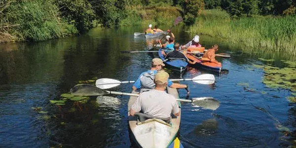
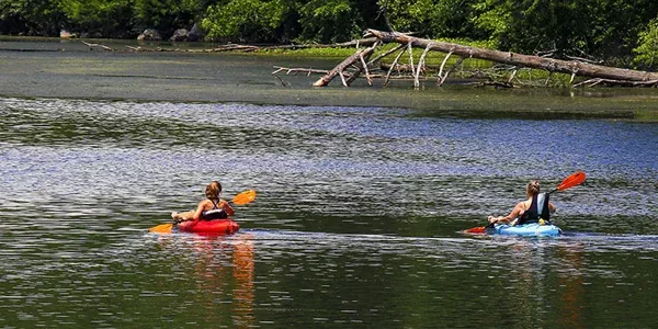
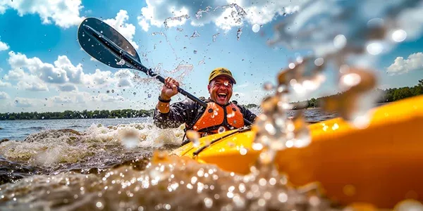
Morgan’s Cove
The perfect place for a leisurely paddle, Morgan’s Cove, offers a mild current and the
option for two different paddles. Once launching from the boat ramp, heading right,
travel up South Sauty Creek, a part of Bucks Pocket State Park. This is roughly a 2-mile
out and back paddle. Head left from the boat ramp and travel 3-miles one way. Both of
these paddles offer abundant views of wildlife with minimal current to paddle.
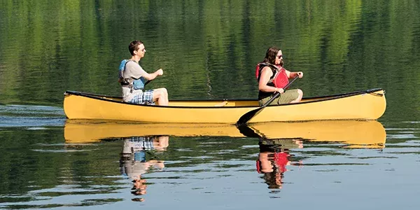
Town Creek
The perfect place for a leisurely paddle, Morgan’s Cove, offers a mild current and the
option for two different paddles. Once launching from the boat ramp, heading right,
travel up South Sauty Creek, a part of Bucks Pocket State Park. This is roughly a 2-mile
out and back paddle. Head left from the boat ramp and travel 3-miles one way. Both of
these paddles offer abundant views of wildlife with minimal current to paddle.
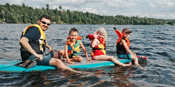
Lake Guntersville State Park Beach Paddle
Lake Guntersville State Park offers kayak rentals at the Beach Pavilion located in the
day use area. Kayaks are rented by the hour and can be taken along the shores of the
campground or just along the banks of the park. Both offer beautiful views of the park
with amazing sunsets!
Short Creek
Paddling back to Dry Creek and inflow into Short Creek, pass along a sandbar where the
cattails grow rampantly making great habitat for Red-Wing Blackbirds. The water along
the shoreline is quite shallow creating many opportunities to view turtles and other
species in the water. The kayak launch is located directly behind the ranger station at
end of the fishing dock.
Guntersville Civitan Park
Paddling along Sunset Drive offers beautiful views of the lake and many opportunities
to view different types of wildlife, even paddling right by a bald eagle’s nest! This paddle
can be a bit choppy depending on the wind, so be prepared for some waves. Put in at
the Civitan Park Boat Launch and paddle along Sunset Drive’s shoreline.
Hambrick Bat Cave
Launch on the north side of Guntersville Dam to paddle to Hambrick Bat Cave. The water
can be choppy here depending on the water flow through the dam so be cautious. From
launch it is about a 30-minute paddle upriver to reach the bat cave. Signs that signify the
bat cave, “Gray Bat Sanctuary,” will be visible. Be prepared and bring a red-light head
lamp in case it is dark. Bats can only be seen emerging from April to October, and the
cave is not accessible by land.